

Typhoon Jangmi Made Landfall in Southern Korea
Storm Activity: 8/8/2020 – 8/10/2020
A tropical depression that formed in the western Philippine Sea on 8 August has developed into Tropical Storm Jangmi (local name- Enteng). Jangmi swiftly moved north towards the Ryukyu Islands (southern Japan) and the East China Sea. Today, it made landfall in South Korea around early morning local time, with a 10-minute maximum sustained wind speed of 75 km/h (45 mph) and gusts to 110 km/h (70 mph).
It weakened to an extratropical cyclone at around 17:00 LT. Heavy rainfall is forecasted in the next 24 hours over the Republic of Korea and Southern Japan.
Follow the quick links to assess the impact in EigenPrism:
- Tropical Storm Jangmi 5-day Forecast Max Winds – as of 2020-08-09
- Tropical-Storm-Force Wind Probabilities – from 2020-08-08 – 2020-08-13
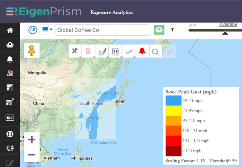
- TropStorm Jangmi Forecast Wind Swath – Advisory 09 as of 2020-08-10
Don’t have access to EigenPrism?
Sign up for a trial account and access full impact reports of all events. Contact us and we’ll set up a trial account for you.
More on event news:
- TYPHOON MEKKHALA
- M 5.1 EARTHQUAKE NORTH CAROLINA
- ISAIAS POST-EVENT IMPACT SUMMARY
- ISAIAS LANDFALL IN NORTH CAROLINA
- COVID-19 FORECAST– (COVID-19 data now available monthly.)


