

Derecho storms impact central, south-eastern United States
A fast-moving line of severe storms on Friday June 20 began in Nebraska and travelled to the south-eastern coastline by Saturday morning. Known as a derecho, the storms brought strong straight line winds, hail and flooding to region.
The Storm Prediction Center defines as a derecho as a “widespread, long-lived wind storm … associated with bands of rapidly moving showers or thunderstorms”. By definition, derechos are characterized by;
- straight-line wind damage, i.e., in one direction along a relatively straight path
- a damage swath that extends at least 240 miles
- wind gusts of at least 58 mph
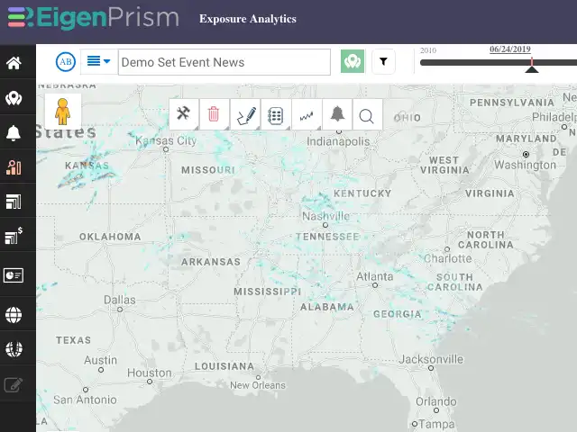
EigenPrism users can use the following Quick Links for immediate analysis on their exposures:
24-hr Hail Swath ending 06-22-2019
24-hr Rotational Track ending 06-22-2019
Assessing the impact
EigenAlerts provide automated notifications with key metrics to estimate impact:
- Customized and mobile enabled
- Updated as forecasts and advisories change
EigenPrism users who have set Alerts will receive email and text notifications detailing the estimated impact on their exposure. Quick links are noted above.
Contact us if you want to use EigenAlerts immediately; you can be up and running in a day if you have data in standard cat model or spreadsheet format.
Arrange a live demo
Not a subscriber, but want to see how this works? Contact us and we’ll set up a live demo to show you how EigenPrism helps you plan, monitor and respond to nat cat events.
[wpforms id=”2114″]


