US Faces Diverse Weather, From Snowstorms and Severe Thunderstorms to Wildfires
A formidable storm will unleash a variety of weather hazards across the central United States, presenting an extraordinary mix of conditions.
The Rockies, especially Colorado, will face significant snow until Friday. The city of Denver will pick up between 8 to 12 inches of snow. The dense, moist snow may have enough force to topple trees, which could then fall on power lines and result in widespread power disruptions.
Simultaneously, Parts of Texas and Oklahoma face the highest wildfire risk (Level 3 of 3) due to gusty winds of 30 to 40 mph—possibly reaching up to 50 mph—combined with warm conditions and plenty of dry vegetation. This risk extends to Kansas and New Mexico as a Level 2 of 3, partly due to previous wildfires like Texas’ Smokehouse Creek Fire. The wildfire risk will diminish by Thursday as the winds subside. Meanwhile, several other wildfires are already ongoing.
Additionally, Severe thunderstorms will hit the Plains and Mississippi Valley, spreading to the Midwest. Northeastern Kansas, western Missouri, and Kansas City are under a significant risk of a Level 3 of 5 risk of severe thunderstorms, including hail, winds, and tornadoes, especially in Kansas and Missouri. Isolated thunderstorms may still affect the Gulf Coast, ending several days of varied, severe weather across the central US. Earlier Wednesday night Kansas City area was pelted with massive chunks of hails, bringing traffic to a standstill along Interstate 70.
From Snowstorms and Severe Thunderstorms to Wildfires: Actionable Insights on EigenPrism
Post Event
US Severe Weather Mar 13, 2024 – Post-Event Report
Forecast
All EigenPrism® users can assess the forecast of this multi-peril event using the following report templates:
US Severe Weather Mar 2024 Forecast Report
The report template auto-updates with the latest available forecasts, which include:
- 72-hr Forecast Snow Accumulation
- Potential Winter Storm Overall Impact
- Significant Hail Day 1 Outlook
- Significant Hail Day 2 Outlook
- WPC 3-Day Excessive Rainfall Outlook
- Daily Peak Wind Gust across NA
Take advantage of our forecast report templates that auto-update with the latest available datasets.
Escape the News Cycle | Get Alerts Automatically For Events Impacting Your Assets
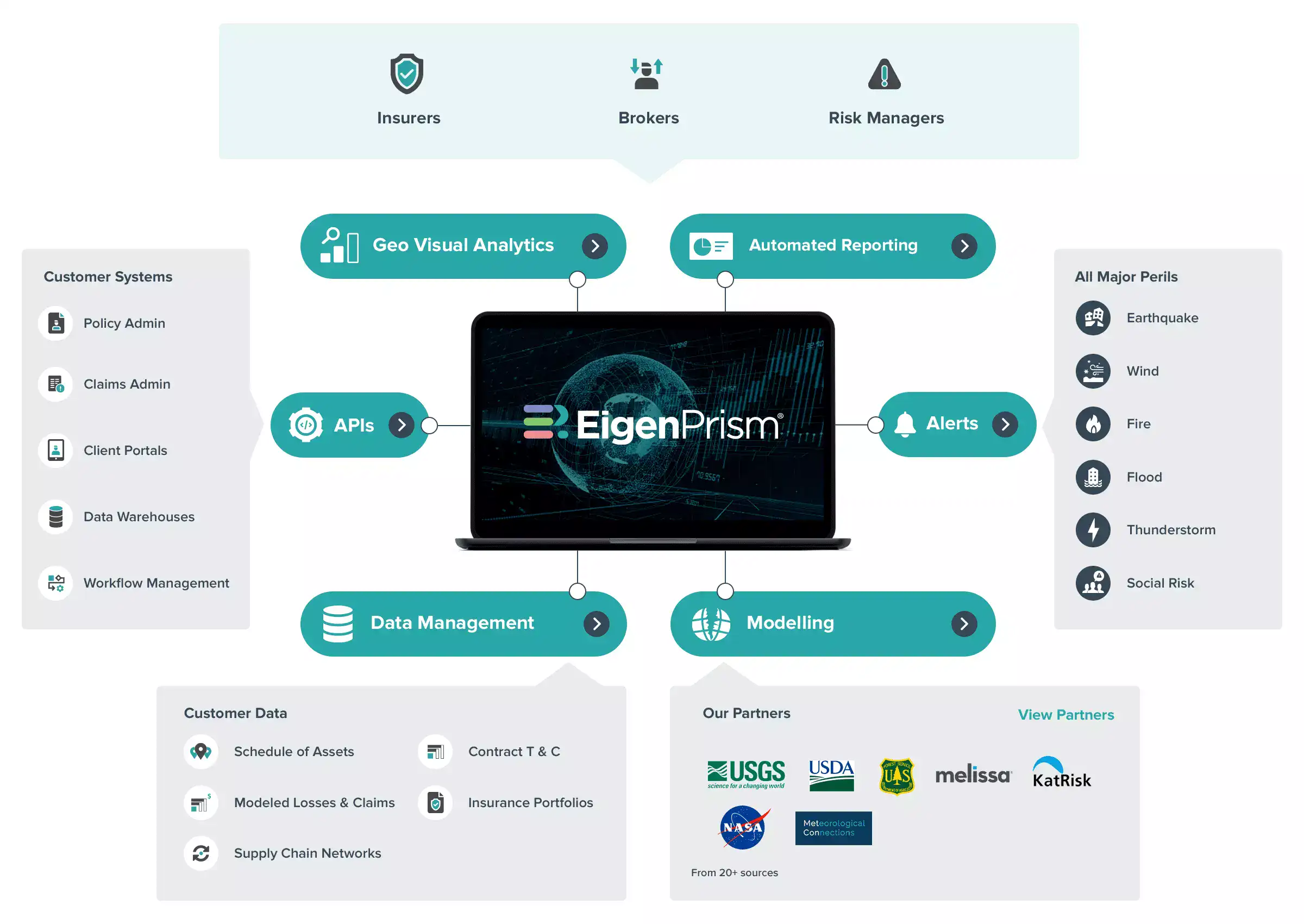
With EigenPrism Alerts, you can set Alerts and free yourself from constant event monitoring. Set up personalized alerts based on predefined impact thresholds and choose how you receive them – via email, SMS, or directly within EigenPrism. This way, you stay informed on your own terms, focusing only on the events that truly matter to your assets.
Set your alerts now.
Don’t have access to EigenPrism®?
Sign up for a trial account and access full impact reports of all events. Contact us, and we’ll set up a trial account for you.


