Severe Weather Threat from Colorado to Carolina: Actionable Insights on EigenPrism
On Thursday, severe weather is predicted from South Carolina to Colorado. The forecast is for strong wind gusts exceeding 80 mph, hail larger than 2 inches in diameter, and tornadoes. After receiving more than 300 storm reports on Wednesday, the area is still very active.
The chance of severe weather is at Level 4 out of 5 in this area, which includes Oklahoma City and Norman, Oklahoma. Wichita Falls, Texas, and its surrounding areas are under a Level 3 out of 5 enhanced risks. A Level 2 out of 5 slight risk of severe weather affects over 16 million people, including areas like the Dallas Metroplex, Tulsa, Oklahoma, Shreveport, Louisiana, and Tallahassee, Florida.
Assessing the Impact
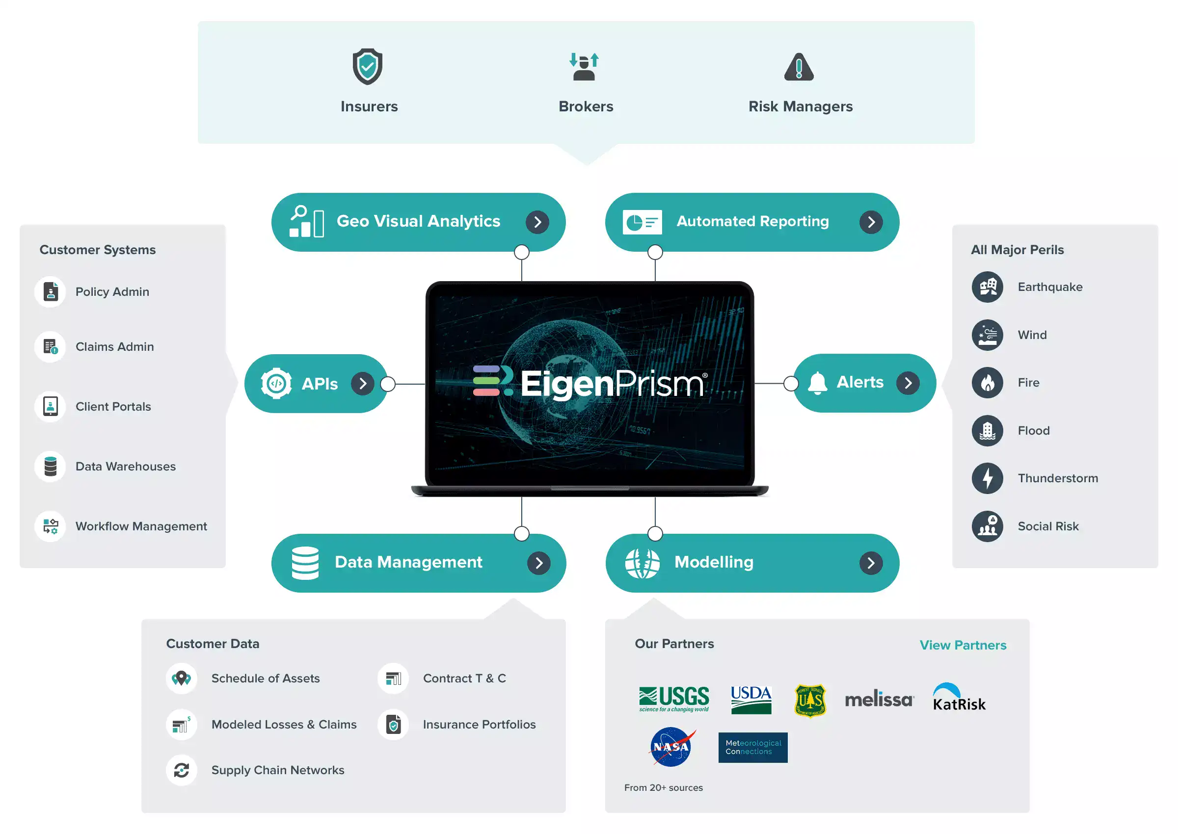
To make timely decisions concerning these events, EigenPrism® users can use the following quick links:
- Significant Tornado Day 1 Outlook as of 2023-06-14 – v3 | v4
- Significant Wind Day 2 Outlook as of 2023-06-14 – v3 | v4
- Significant Hail Day 1 Outlook as of 2023-06-14- v3 | v4
Set Alerts: v3 | v4
Set up your exposures to receive automated notifications by setting alerts on the following event sets:
- US Tornado proximity map from Canopy Weather
- US Tornado damage survey footprints
Don’t have access to EigenPrism®?
Sign up for a trial account and access full impact reports of all events. Contact us and we’ll set up a trial account for you.


